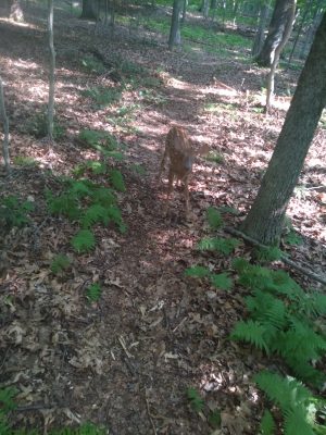
I will post my photos of my favorite spots around campus here. My favorite place close to campus is probably the more remote Eldridge Falls, but I’m likely to change my mind. I’m a trail runner, but almost all the trails are used by hikers, mountain bikers, runners, horse riders, and dog walkers.
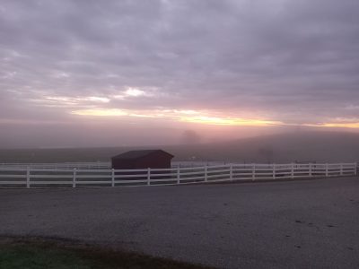
Horsebarn hill
East campus sits at the base of this UConn owned hill which features pastures with cows, sheep, and horses.

UConn Forest
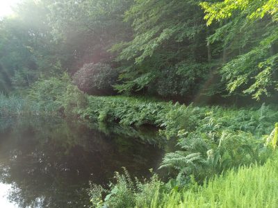
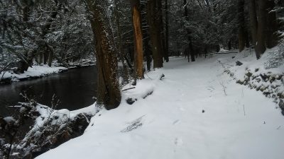
Flanking Horsebarn hill to the east and north is a well-used forested valley with the Fenton River running along the bottom. The Nipmuck Trail runs along the Fenton River here, stretching south to its southern terminus ten miles away in Mansfield Hollow State Park along Lake Naubesatuck and to its northern terminus twenty-five miles away on the Massachusetts border in Bigelow Hollow.
Nipmuck Trail along the Fenton River
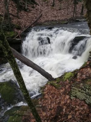
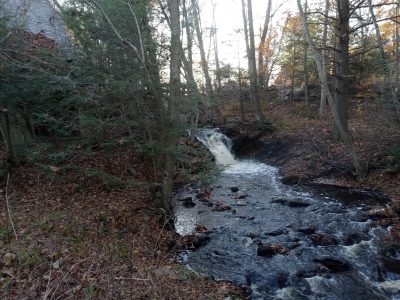
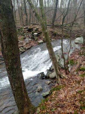
Codfish Falls
Abandoned Coydog Kennels
Abandoned Ski Slopes
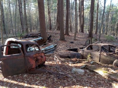
Car graveyard across Codfish Road
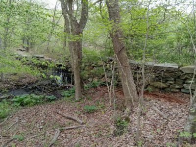
EB Smith Silk Mill Site
Gurley Mason Mill Site
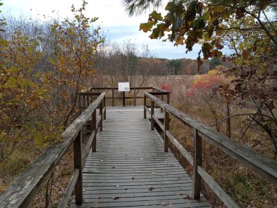
Shelter Falls Park
Just northwest of campus, surrounding Carriage House and Northwood Apartments is shelter falls park.
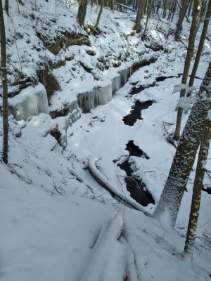
Shelter Falls and shelter overhang
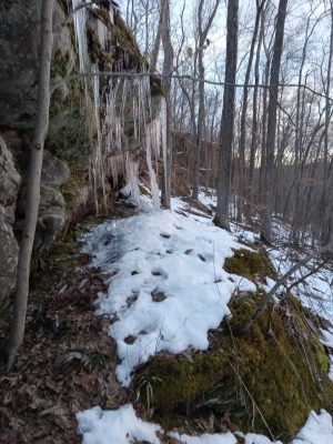
Falls below Bonemill
UConn Forest Moss Tract
Following the Fenton River north across Highway 44 is more park land. The Nipmuck Trail is often flooded by a beaver dam, but there is another trailhead on Mason Road, and there are some lesser used trailheads on Daleville Road.
Eldredge Brook falls
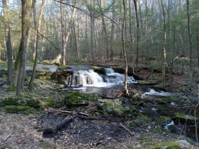
Eldredge Brook
Talmadge Tract and Knowlton Preserve
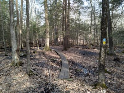
Nipmuck Trail
Albert E. Moss Sanctuary
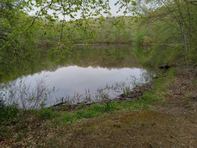
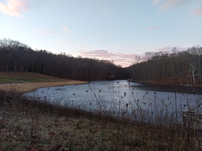
On the southern edge of campus, this well-used park includes a mile loop trail around Tift Pond.
Tift Pond
Dunhamtown Forest
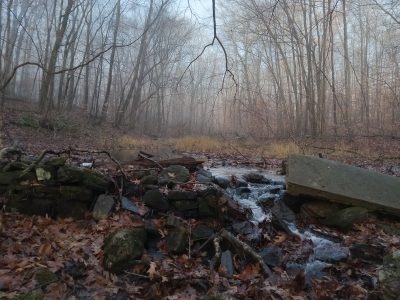
On the south-western corner of campus, this park boasts the remains of cemetery and homesteads on land that was a farm from 1695 to 1873. There are other foundations and abandoned cemeteries around, but these are among my favorites in the immediate vicinity.
Cemetery and homestead
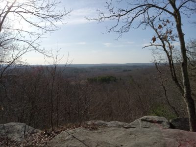
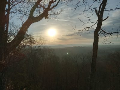
50 Foot Cliff
A mile south-east of campus, this well-used park is best accessed by a trailhead behind the Mansfield Historical Society building. The cliff has a lovely overlook and some rock climbing opportunities.
Spring Valley
Schoolhouse Brook Park
About two miles to the south, adjacent to the middle school, is Schoolhouse Brook Park, which features well-used trails around Union Lake and along the brook, and many other trails.
Union Pond
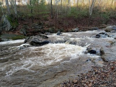
Schoolhouse Brook Falls
Wolf Rock
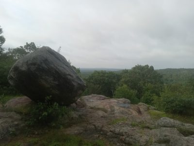
Just south of Schoolhouse Brook Park, Wolf Rock is incorrectly said to be the highest point in Mansfield, but at 533 feet (162 meters), it offers a well used, short trail to a great view and a cool granite gneiss erratic on top. It also offers the most well used outdoor rock climbing in town.
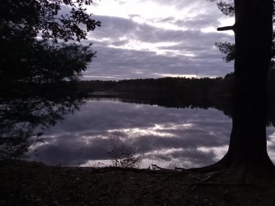
Mansfield Hollow State Park
Six miles south of campus is Mansfield Hollow State Park, with its many trails, water access, and more. The best parking lots are along Bassets Bridge Road and the park is centered on the beautiful Lake Naubesatuck.
Mansfield Hollow
Mount Hope River
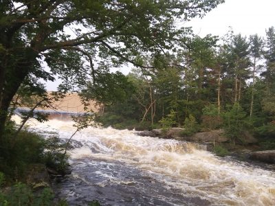
Mansfield Hollow Dam
Hillside Environmental and Educational Park (HEEP)
North campus includes HEEP, which is a lovely park and features numerous student hiking experiences.
Coney Rock
East of 50-foot cliff is Coney Rock. The top of the climb includes a lovely overlook and some rock climbing opportunities.
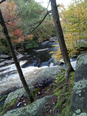
Diana’s Pool
A bit far from campus (ten miles away, a couple miles east of Mansfield Hollow), Diana’s Pool is one of the best known “hidden gems”, with nice rocks to sit on and chill as the water rushes by and a warm afternoon.
Owen’s Mere
Southwest of campus is a small pond sitting between campus and Dunhamtown Forest.